TOPOGRAPHY
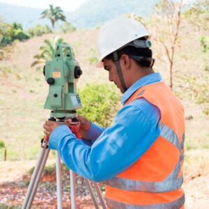
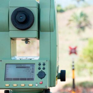
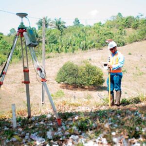
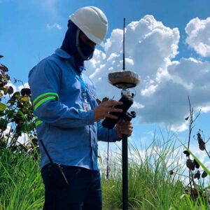
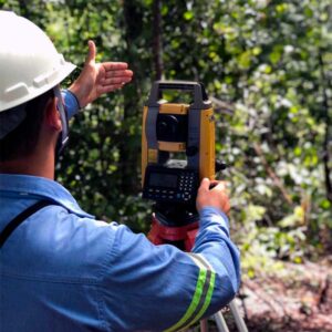
Conventional Terrestrial Surveying
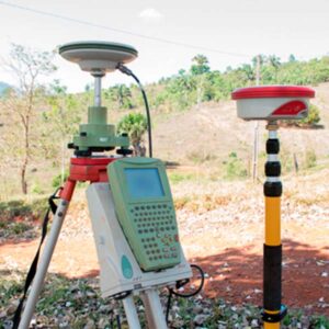
Conventional surveying includes, among other services: planimetric and cadastral topographic surveys, staking of points and construction works, installation of high-precision GPS benchmarks, bathymetric surveys with echo sounders, and topobathymetric cross-sections in rivers and lakes.
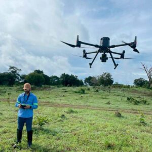
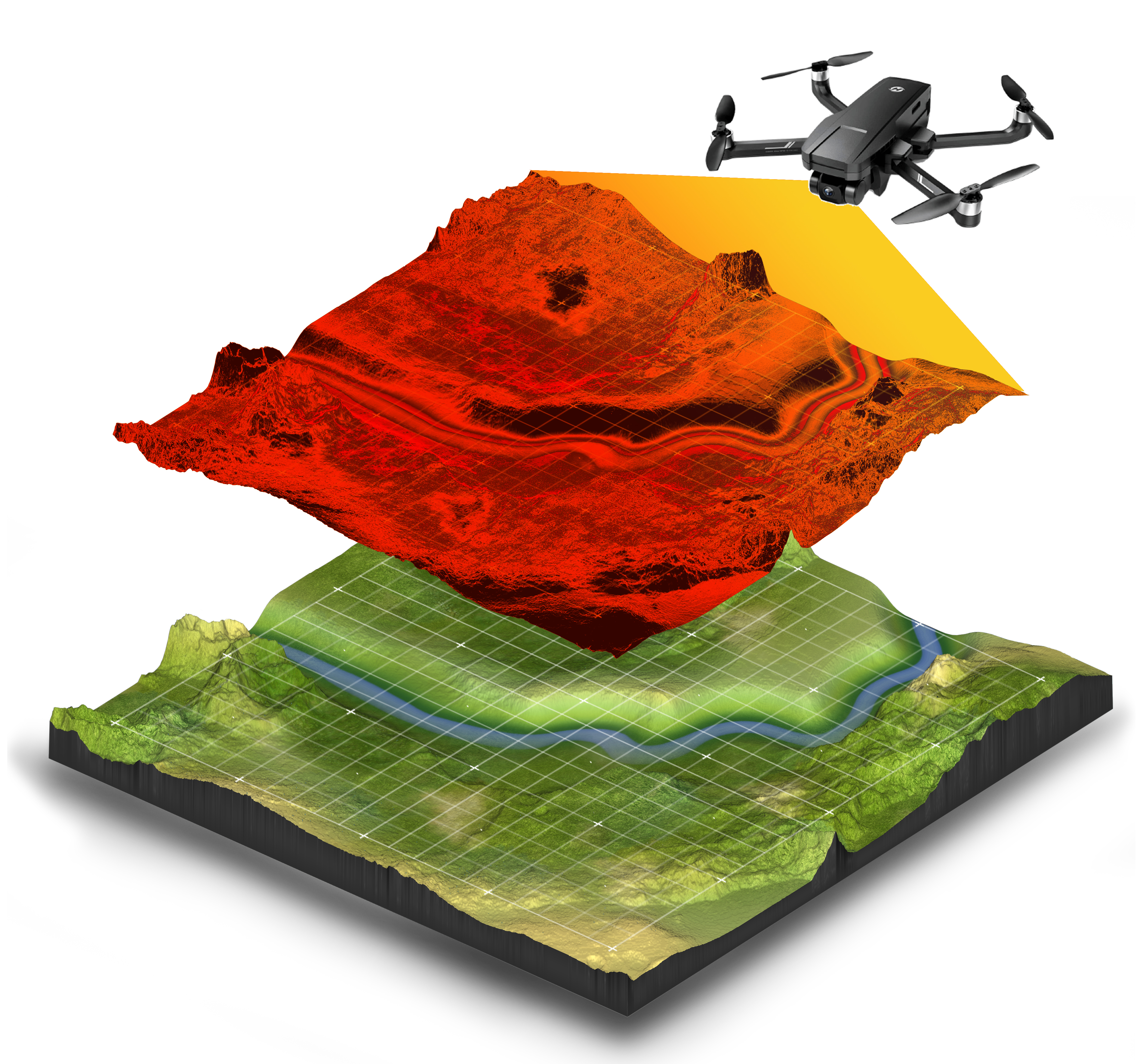
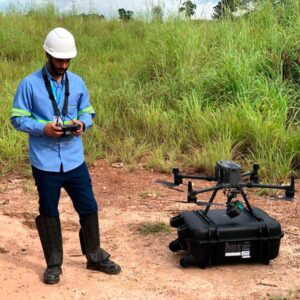
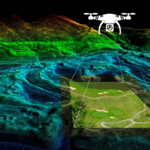
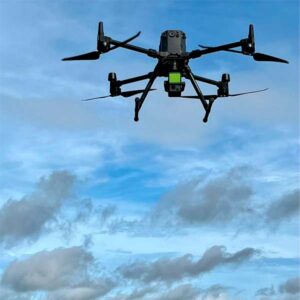
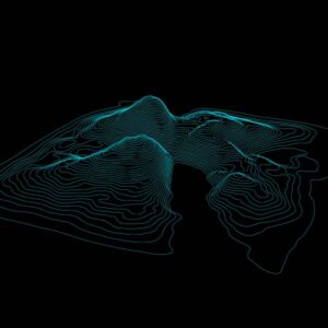
LiDAR – Airborne 3D Surveying
Airborne surveying includes, among other services: aerial photogrammetric surveys using drones or UAVs, generating orthophotos and georeferenced orthomosaics, as well as LiDAR laser scanning technology that provides highly accurate terrain representation. After processing these datasets, high-resolution digital models are generated and applied in multiple fields.
Key deliverables include:
• Installation of geodetic benchmarks;
• Cadastral planialtimetric surveys;
• Planialtimetric surveys with 3D updates of mining operations;
• Leveling, balancing, slope measurement, settlement, and parallelism control of embankments, dams, pillars, beams, and civil/mechanical structures;
• Planialtimetric surveys for earthworks projects;
• Design and installation of “DNPM standard” benchmarks required for mining permits;
• Stockpile volume surveys and material inventory calculations;
• Staking and monitoring of civil works for mining projects;
• Surveying of profiles with staking for geological mapping, soil sampling, and geophysical surveys;
• Drill hole staking with azimuth and dip control;
• Monitoring and staking of mine planning projects.

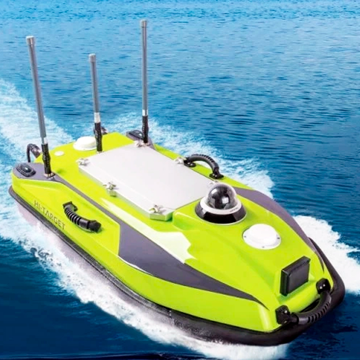
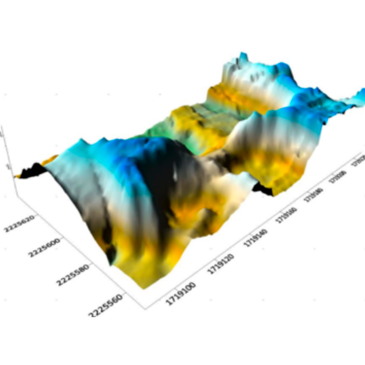
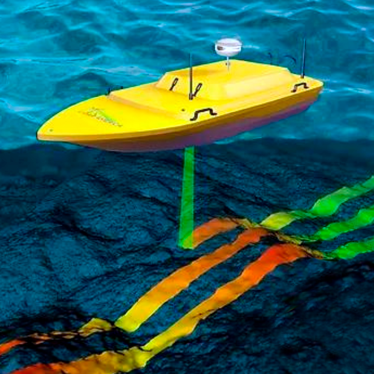
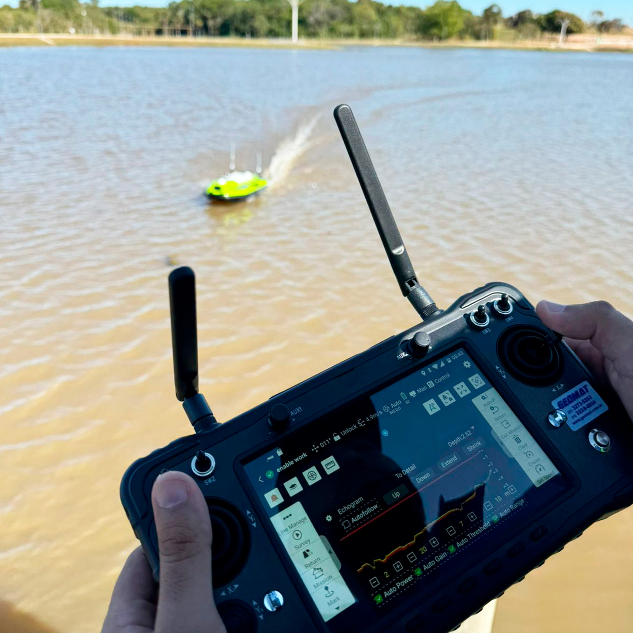
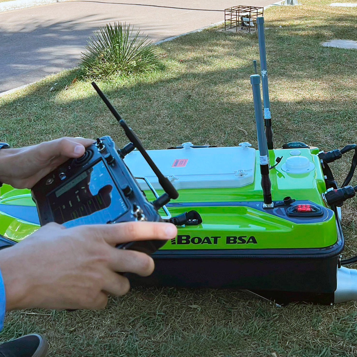
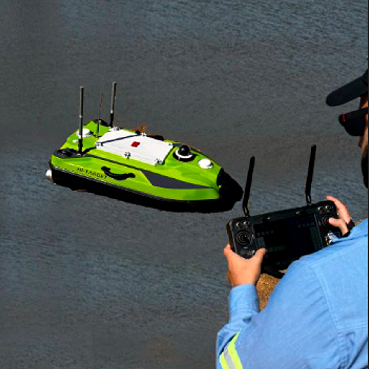
Bathymetry with Unmanned Surface Vehicle (USV)
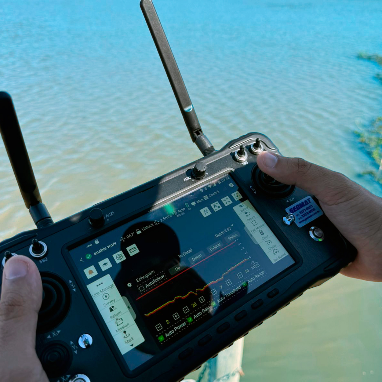
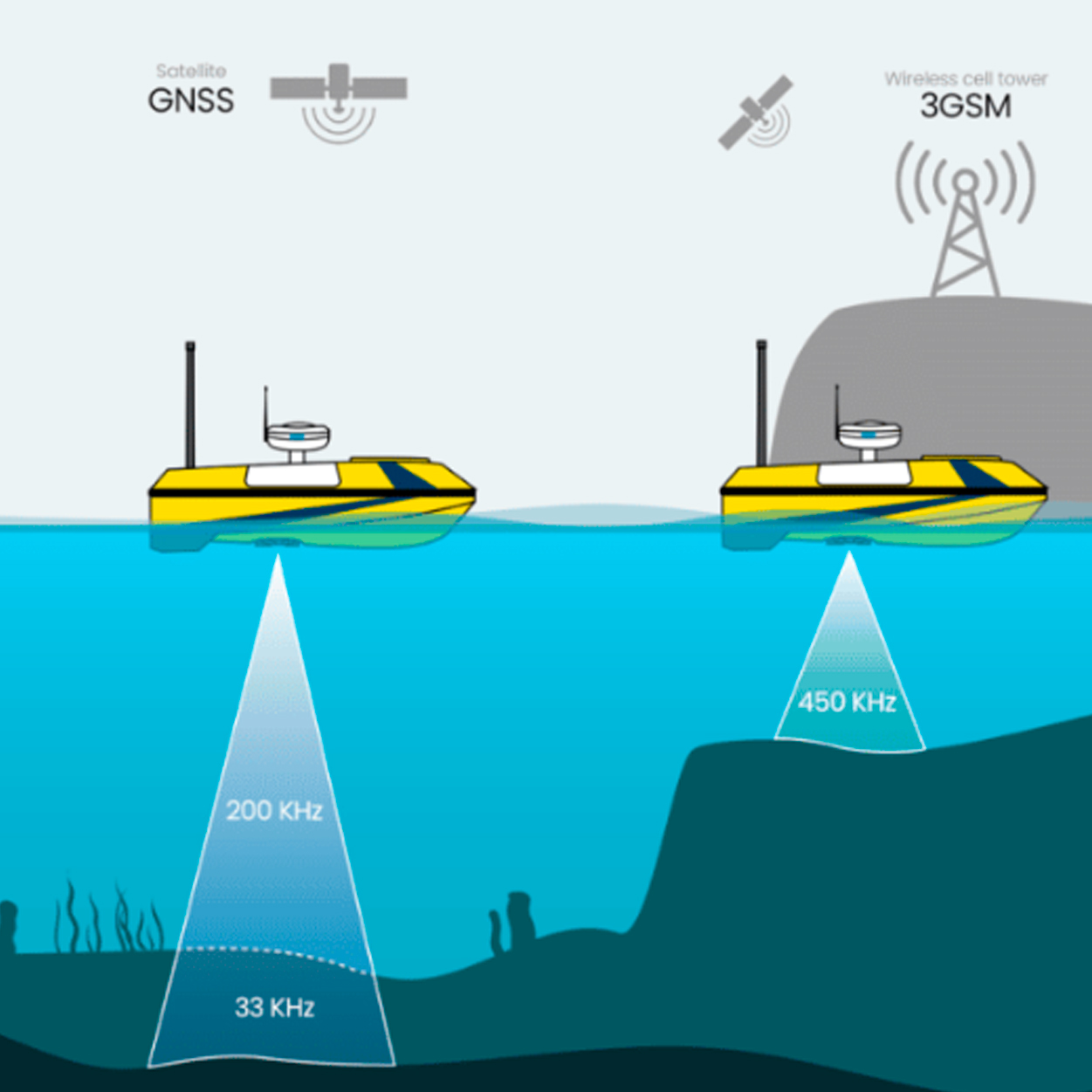
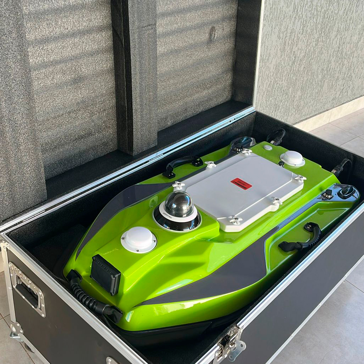
We provide specialized bathymetric surveying services using aquatic drones (USV – Unmanned Surface Vehicles), a modern, safe, and highly accurate solution for hydrographic surveys in rivers, lakes, reservoirs, canals, coastal areas, and hard-to-access water bodies.
Equipped with high-precision echo sounders, RTK-GPS, and inertial sensors, these autonomous small-scale vessels perform detailed underwater terrain mapping, even in areas where conventional boats would be unfeasible or unsafe.
Main applications:
• Integrated topobathymetric surveys;
• Monitoring of sedimentation and dredging;
• Feasibility studies for hydraulic and civil engineering works;
• Planning and maintenance of ports, dams, and waterways;
• Water resources and environmental management.
Advantages of USV technology:
• High-accuracy bathymetric data with centimeter-level georeferencing;
• Access to shallow or restricted areas unreachable by larger vessels;
• Safe and remote operation with no onboard crew required;
• Fast execution with quick delivery of bathymetric maps and profiles;
• Reduced operational costs compared to traditional methods.
Delivered results:
• Digital bathymetric maps (CAD, GIS, PDF, etc.);
• Digital terrain models (DTM) of underwater topography;
• Technical reports with analyses and recommendations;
• Raw and processed data ready for integration into engineering projects.

Additional Services We also perform topobathymetric cross-sections, installation, and monitoring of topographic benchmarks in dams, slopes, and related structures, including:
• Leveling, slope measurement, settlement, and parallelism control of dams;
• Leveling, balancing, slope measurement, settlement, and parallelism of slopes, pillars, beams, and civil/mechanical structures;
• Installation of geodetic benchmarks;
• 3D updates of mining operations through planialtimetric surveys;
• Cadastral planialtimetric surveys;
• Earthworks project surveys;
• Installation of “DNPM standard” benchmarks for mining permits;
• Stockpile and raw material inventory volume calculations;
• Staking and monitoring of civil construction works for mining;
• Profile opening with staking for geological mapping, soil sampling, and geophysical surveys;
• Drill hole staking with azimuth and dip;
• Monitoring and staking of mine planning projects.